An Account of James Monroe's Land Holdings
© Copyright and All Rights Reserved
By Christopher Fennell
Map Images of the Monroe Hill Area
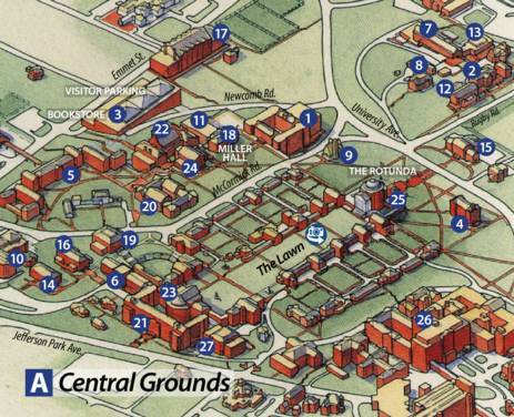
The image below is an excerpt from the University of Virginia's map of the school grounds, showing the surviving Monroe law office building as part of the "Monroe Hill House and Range" dormitory complex, which is the white building to the left of the number "20" on this image.
To view a particular topic on Monroe's land holdings,
click on the desired subject below:
 Return to Introduction
Ash Lawn-Highland Museum Web Page
Last Modified: September 2, 2012