An Account of James Monroe's Land Holdings


© Copyright and All Rights Reserved
By Christopher Fennell


Map Images of the Kentucky Territory


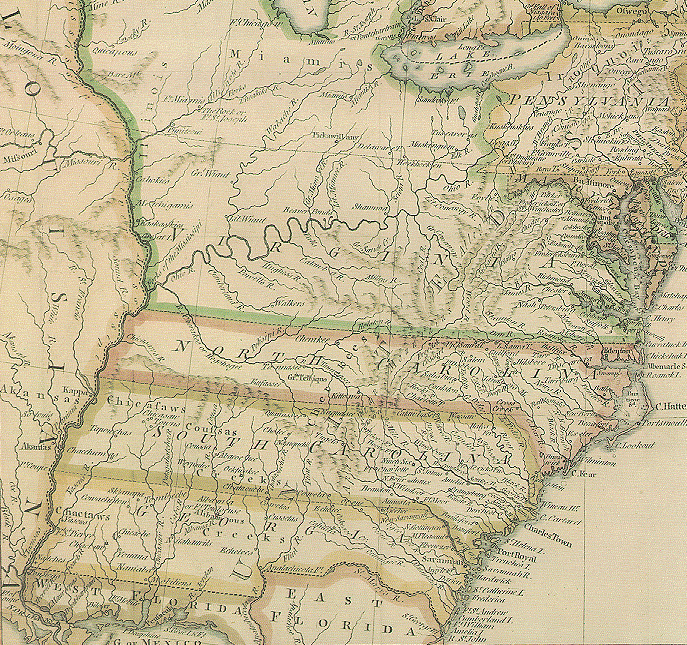
The following is an image from a 1783 historical map of the United States, showing the Kentucky territory, which was then a part of Virginia, and the Louisiana and Florida territories on the perimeter of the existing states. Copies of this map are available in the Virginia State Library's collections. In addition to purchasing properties in the Kentucky area for his own use, Monroe was instrumental in negotiating the purchase of the Louisiana and Florida territories for the United States.

1783 map


Click here if you wish to view maps of the developing boundaries of the states and territories over time. Then click on the "back" button on your browser to return to the Ash Lawn-Highland web site.


To view a particular topic on Monroe's land holdings,
click on the desired subject below
:

1. The Ash Lawn-Highland plantation
2. Monroe Hill, site of the University of Virginia
3. Parcels in Downtown Charlottesville
4. The Limestone Farm in Albemarle
5. The Oak Hill plantation in Loudoun County
6. A residence in Fredericksburg
7. A residence and land in Henrico County
8. Other speculative land holdings in Kentucky and elsewhere
9. A List of Sources and References Cited


Return to Introduction

Ash Lawn-Highland Museum Web Page

Last Modified: September 2, 2012