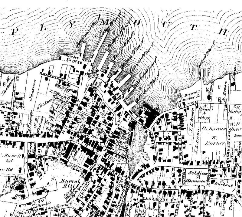
The detail below, from the 1879 Plymouth County Atlas, shows the location of Leyden, Church and Main Streets and of Burial Hill, as discussed in our Fortified Town Plan of Plymouth in 1622.
The "broad street" that led from the fort or blockhouse down the center of the town to the shore came to be known as Leyden Street, and is today divided into Church and Leyden Streets. The fort, completed between June 1622 and March 1623, was built on what is now known as Burial Hill, shown here on this 1879 map. It is traditionally sited on a slope of Burial Hill at the junction of Spring Street and the original Leyden Street. In our Fortified Town Plan, we have placed the fort's location at the corner of Spring and Church Streets. Leyden Street now commences at its junction with Main Street, the only cross street traversing the location of the fortification. Main Street is probably the original "high way" shown by William Bradford on his 1620 plan of Plymouth. |