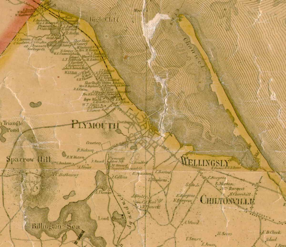
The detail below, from the 1857 "Map of the County of Plymouth" compiled from "actual surveys under the direction of Henry R. Walling" and published by "D.R. Smith & Co.," shows the locations of some of the individual properties, commercial operations, the cemetery, court house, and roadways in the town of Plymouth and the surrounding area at that time. |