The Plymouth Colony Archive Project
Bourne Map of Plymouth, 1830
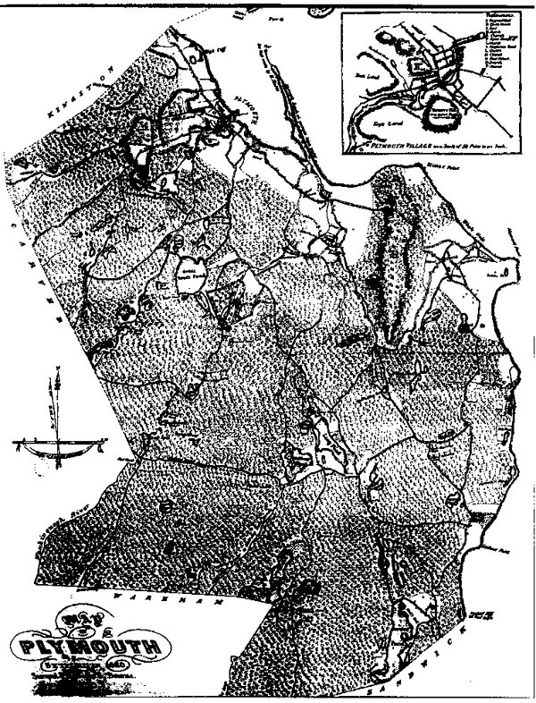
This map, entitled a "Map of Plymouth, settled in 1620," was surveyed and drawn by S. Bourne. The map has a scale of 2 inches to 1 mile.
Maps and Landscape
Project Home Page
© 2000-2019 Copyright and All Rights Reserved by
Patricia Scott Deetz
and
Christopher Fennell