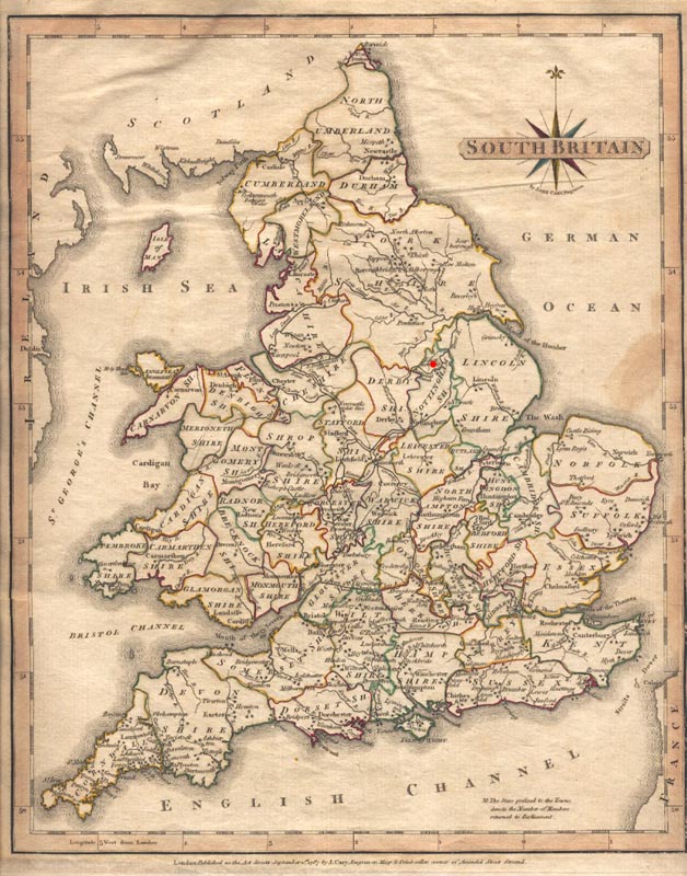
The map below is an excerpt from Cary's New & Correct English Atlas: Being a New Set of County Maps from Actual Surveys (London: Printed for John Cary, Engraver, Map and Print-seller, 1787). The red dot marks the approximate location of the village of Scrooby, in Nottinghamshire County. |