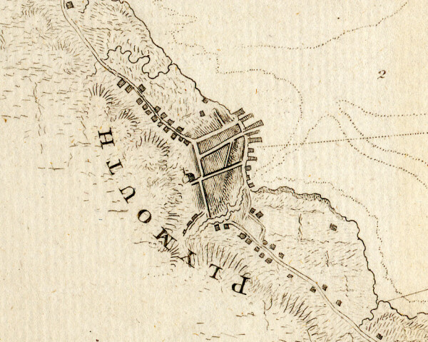
The excerpt below is from a map created by J.F.W. des Barres, who created a set of navigational charts for the Atlantic coast of the colonies under a commission by the British Admiralty. Using new techniques for mapmaking and a new chronometer for fixing longitude, he produced charts of the Atlantic coast that were superior to earlier maps. These charts, comprising more than 250 plates altogether, were published in the Atlantic Neptune from 1774 to 1780. The map showing Plymouth was printed in 1780 and may have been charted a few years before. Our thanks to David Corey of Harvard University for providing us with a digital copy of this map excerpt. |