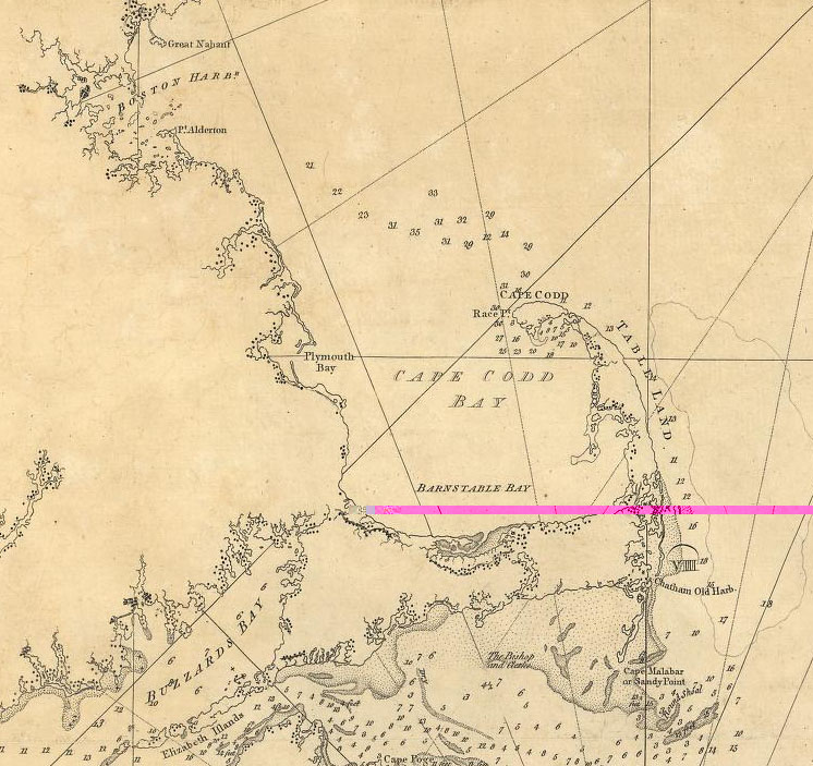
1776 Map of New England by Joseph F. W. Des Barres
The image below is an excerpt from a map available from the Library of Congress' American Memory Project. Entitled "The Coast of New England," this map was published in 1776 by Joseph F. W. Des Barres.