The Plymouth Colony Archive Project
1755 Map of New England by Thomas Jefferys
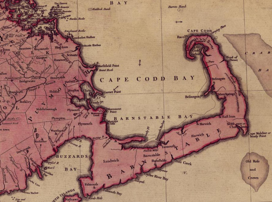
The image below is an excerpt from a map available from the Library of Congress'
American Memory Project
. Entitled "A Map of the Most Inhabitated Part of New England," this map was published in 1755 by Thomas Jefferys.
Maps and Landscape
Project Home Page
© 2000-2019 Copyright and All Rights Reserved by
Patricia Scott Deetz
and
Christopher Fennell