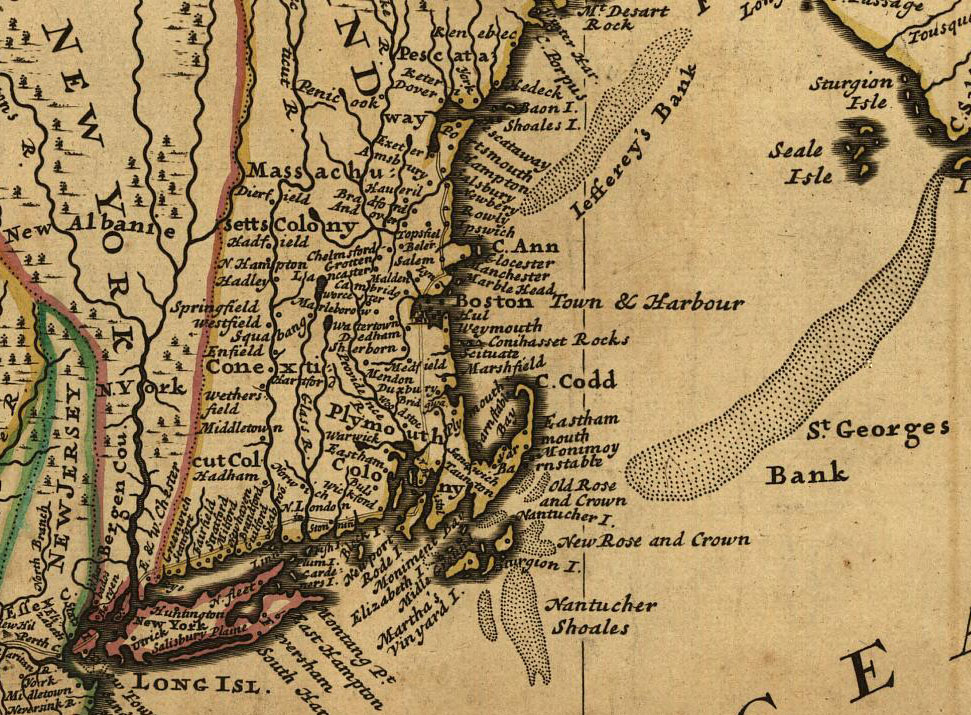
| The image below is an excerpt from a map available from the Library of Congress' American Memory Project. Entitled "A new and exact map of the dominions of the King of Great Britain on ye continent of North America, containing Newfoundland, New Scotland, New England, New York, New Jersey, Pensilvania, Maryland, Virginia and Carolina," this map was first published in 1731 by Thomas Bowles, John Bowles, and I. King. |