Two geophysical techniques were used at the New Philadelphia Site: magnetic field gradiometry and electrical resistance. The magnetic survey (Bevan 1998; Heimmer and De Vore 1995; Scollar 1990) was conducted using a Geoscan FM36 gradiometer. This instrument is manufactured by Geoscan Research, a small firm in Great Britain that produces geophysical instruments and software optimized for archaeological applications. The gradiometer can measure exceedingly subtle disruptions in the earth's magnetic field that were caused by prehistoric and historic-era cultural activities, as well as recent cultural and natural phenomena.
The Geoscan FM36 records the difference or gradient between the values measured by two fluxgate sensors that are positioned at slightly different (.5 meter) distances from the ground surface. To collect data, the surveyor walks along a predefined transect, carrying the gradiometer in one hand. A sound emitted by the instrument's automatic trigger allows the surveyor to distribute the data collection points at regular intervals. The surveyor must take care to keep the tube containing the two magnetic sensors perpendicular to the ground surface. Deviations of the instrument from the perpendicular are manifested in the data as slightly anomalous readings. The overall effect of such anomalous values is to decrease the signal to noise ratio, making it less likely that very subtle features will be detected.
In preparation for the survey, a metric grid comprised of 20 by 20 meter blocks was established at the site. Blocks of this size represent a widely used data collection unit for many geophysical studies, particularly those conducted using Geoscan instruments. The blocks were oriented approximately 45 degrees east of magnetic north. This deviation from the New Philadelphia historic town plat (which is oriented to the cardinal directions) was necessary to prevent the obfuscation of linear features as a result of magnetic processing techniques (the zero mean traverse routine in Geoplot software can remove linear features that are parallel to the data collection traverses).
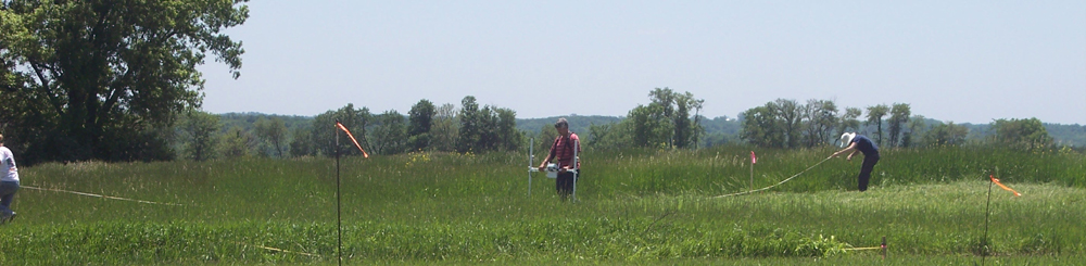
In each block, the survey began in the west corner and proceeded northeast and southwest along transects that were spaced at 1 meter intervals. Transects were marked using nonmagnetic tapes held in place by plastic tent pegs. The gradiometer was set for its maximum resolution (.1 nanoTesla). The survey area was in tall (ca. 20 cm) grass and field conditions were generally favorable.
In the gradiometer surveys, data values were collected at .125 m intervals as the surveyor moved along each transect. This strategy resulted in a medium-density survey (8 data values per square meter) and reasonably high-resolution maps.
-- An excerpt from Dr. Michael Hargrave's report of the 2004-2006 Geophysical Surveys at New Philadelphia.

Do you have additional questions? We are also now on Facebook! Follow this link to join in our discussions.

You can also see our Flickr page for geophysical data maps, topographic maps, aerial photographs, and other images, and the opportunity to leave your own comments or questions on them. Use the "Add Note" feature on Flickr to mark-up these data maps and add your own thoughts and comments.