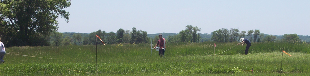
The magnetic and resistance data were processed using Geoplot 3.00, a software package developed by Geoscan Research (Walker and Somers 2000) for archaeological applications. Geoplot routines were used to identify and remove data defects, detect anomalies that could be associated with cultural features, and to cosmetically improve the appearance of the maps. None of these processing steps resulted in the creation of anomalies that were not present in the raw data.
The general processing sequence for the magnetic data was as follows. Data were first Clipped to remove extreme outlying values. The Despike routine was then used to further reduce the effects of isolated data spikes. The Zero Mean Traverse routine was used to set the background mean of each traverse to zero. This removed much of the striping that is often present in the raw data. The interpolation routine was used to achieve square pixels. A Low Pass Filter was then conducted to remove high frequency, small-scale spatial detail (i.e., to smooth the data). The Low Pass Filter is often very effective in improving the visibility of the larger, weaker cultural features. As a final step, the processed data were imported into Surfer 8.0 to produce the image maps presented here.
The resistance data were processed somewhat differently, although the processing objectives were similar to those of the magnetic surveys. Despike was used to remove localized extreme values that can occur when a probe contacts a rock or other hard object. A High Pass filter was then used to remove the effects of the geological background, thereby increasing the visibility of relatively small anomalies that could be associated with cultural features. The data were interpolated to provide a finer-grained appearance. Surfer 8.0 was used to produce the maps included here.
Results of the geophysical surveys are presented in this report as gray-scale image maps. In general, data quality is very good. Note that the processed resistance and magnetic data are bipolar, with a mean of approximately zero (mapped as 50% gray). Positive values range from 50% gray to black, and negative values range from 50% gray to white. Maps viewed on the computer screen are, of course, much higher resolution and more readily interpretable than are the maps provided here. Anomalies thought likely to be associated with cultural deposits were highlighted in color and labeled A1, A2, A3, etc. Note that only the most obvious anomalies were singled-out in this manner. It is highly likely that many other cultural features are manifested by subtle or otherwise ambiguous anomalies. As excavation proceeds, it is likely that the investigators will be able to make increasingly reliable interpretations of anomalies that, at present, appear to be ambiguous.
Boundary lines of the historic-period blocks, lots, streets and alleys of the town site have been overlain onto the data image maps by Dr. Christopher Fennell of the University of Illinois using graphics software. Fennell has also provided illustrations showing where, subsequent to the geophysical survey and analysis, associated excavation units were placed by the field school to further investigate particular areas of anomalies and a number of significant features were uncovered.
-- An excerpt from Dr. Michael Hargrave's report of the 2004-2006 Geophysical Surveys at New Philadelphia.

You can also see our Flickr page for geophysical data maps, topographic maps, aerial photographs, and other images, and the opportunity to leave your own comments or questions on them. Use the "Add Note" feature on Flickr to mark-up these data maps and add your own thoughts and comments.

Do you have additional questions? We are also now on Facebook! Follow this link to join in our discussions.