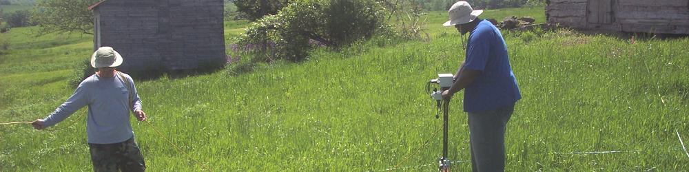
Geophysical surveying, as it relates to archaeology, is a term for a number of ground-based methods used to create maps of subsurface archaeological features. This type of surveying allows archaeologists to have an idea of what may be under the ground before actually excavating it.
At New Philadelphia, Dr. Michael Hargrave from the U.S. Army Engineer Research and Development Center Construction Engineering Research Laboratory (CERL) has been volunteering some of his time every summer since 2004 to perform geophysical surveys and to instruct the field school students in their use as well.

Do you have questions about geophysics? We are also now on Facebook! Follow this link to join in our discussions.

You can also see our Flickr page for geophysical data maps, topographic maps, aerial photographs, and other images, and the opportunity to leave your own comments or questions on them. Use the "Add Note" feature on Flickr to mark-up these data maps and add your own thoughts and comments.